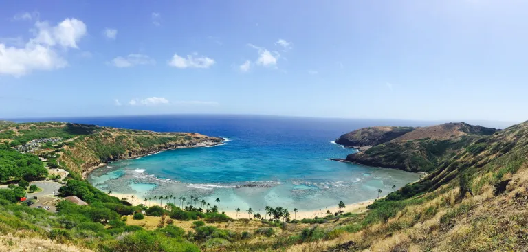
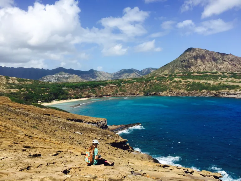
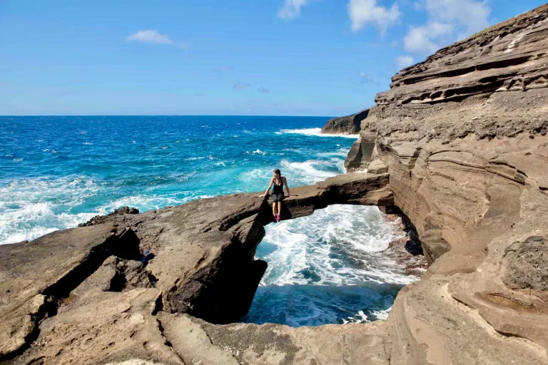
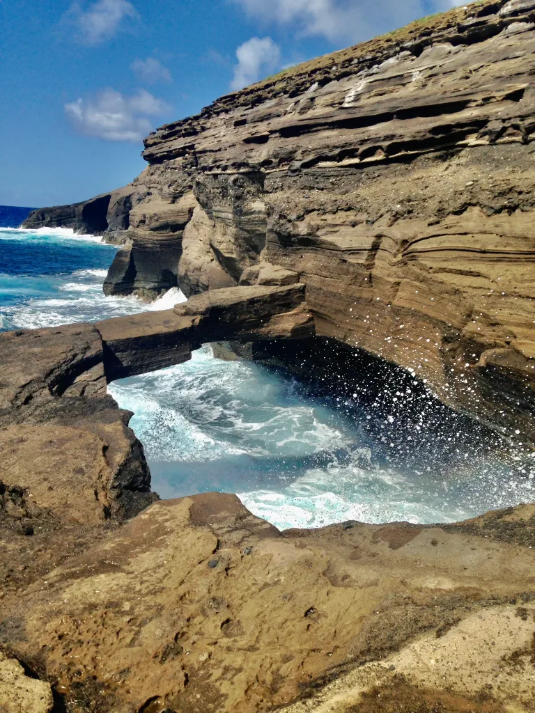
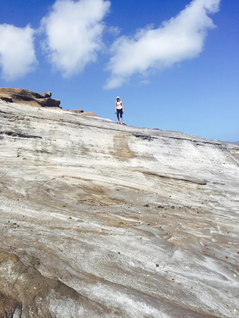
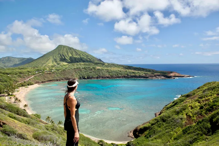
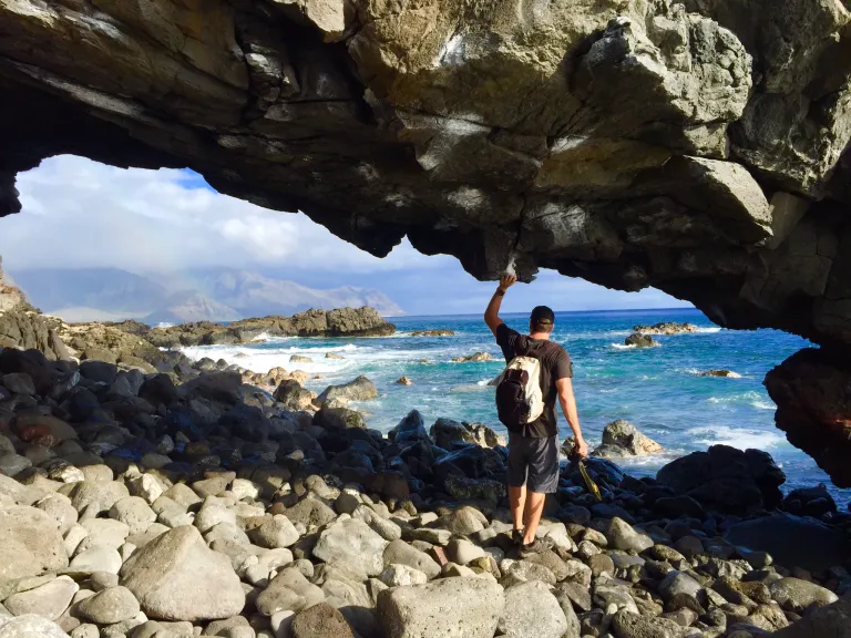
Most of us know Hanauma Bay’s sweeping views from the road-side of the Bay, or the visitor’s center parking. It’s an amazing, bright blue, crescent-shaped crater, lined with greenery and palms, and dotted with coral reef that gives it its varying shades of aqua and electric blues. This hike takes you to a more unfamiliar point of view, on the other side of the crater. First, up to the peak, then down the back of it, across a moonscape of rocks, to the infamous, and hard-to-find, natural rock bridge that hovers directly above the crashing waves.
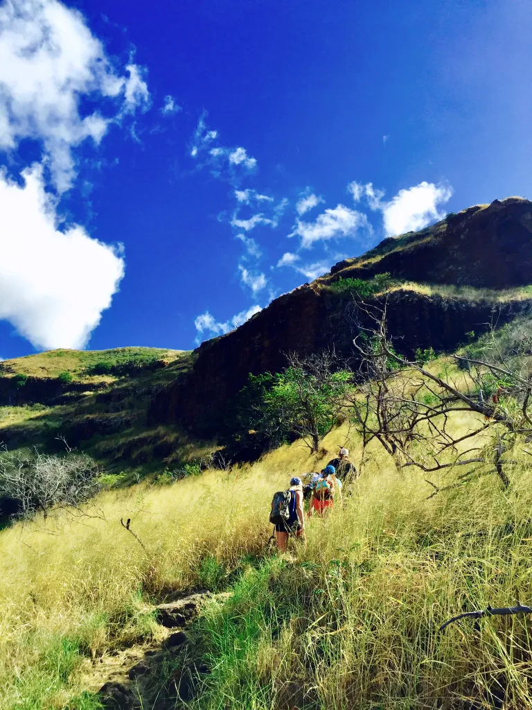
It’s a moderate hike, although the end point is often hard to spot, and the total distance is about 4 miles, and will take you approx 2 hours in direct sun, so make sure you wear lots of sunblock and a hat or sunglasses. The first portion of the hike is along an entirely paved service roadway, gaining elevation quickly (stretch your calves beforehand!) Once you reach the top, you need to climb down, via the uneven, rocky, dirt-covered mountainside. This can be slippery and unsteady, so go carefully.
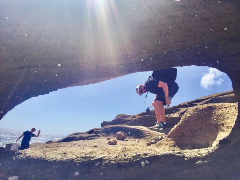
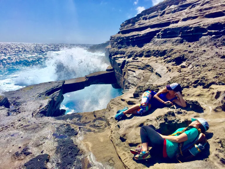
Once you find the rock arch, you’ll feel a sense of accomplishment, because it is hidden along the rocky coastal cliff. Please use UTMOST CAUTION near the rock arch! People have died posing for photos on it, when the waves were rampant, and fatally knocked them off, without warning. I’ve done this hike quite a few times, and only once was the ocean calm enough, with no waves, where I could safely go on the arch for a few moments. But I would never recommend this if you are not familiar with the Ocean here.














Reader Comments
0 Thoughts on this Guide